Kannski Tides
Article
Live index
This copy was last processed on . The copied wiki revision is dated .
| Kannski Tides | ||||
|---|---|---|---|---|
| Released | 19 November 2025 (Update) | |||
| Members | Yes | |||
| Location | Northern Ocean | |||
| League region | N/A | |||
| Map | ||||
| Advanced data | ||||
| Type | sea | |||

| Location on World Map | ||||
| Unknown | ||||
| ↑ | ||||
| Ungael | ← | Kannski Tides | → | Stoneheart Sea |
| ↓ | ||||
| Fremennik Isles | ||||
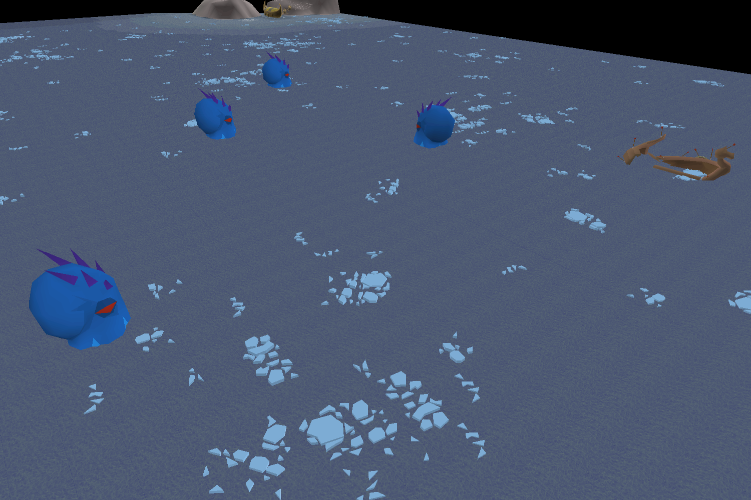
The Kannski Tides are part of the Northern Ocean north of the Fremennik Isles. The Island of Stone lies between the Kannski Tides and the Stoneheart Sea to the east, while Ungael lies between it and the Lunar Sea to the west.
Sea charting
Charting activates reward various amounts of Sailing experience, with significant bonus experience for completing every charting task in any given sea or ocean.
| Level | Type | Task | Sea | Ocean | Location | Comp% |
|---|---|---|---|---|---|---|
 12 12 |  Crate Crate | Find a Sealed crate in the waters of the Fremennik Isles and sample the contents. Note: A raft is necessary to reach this location. | Kannski Tides | Northern Ocean | Map | 14.5% |
| 78 |  Generic Generic | Find the wreck of the Fearless Fremennik south west of the Island of Stone. Beware of Icy seas! | Kannski Tides | Northern Ocean | Map | 13% |
| 78 |  Current Current | Test the currents north of the western cave on the Fremennik Isles. Beware of Icy seas! | Kannski Tides | Northern Ocean | Map | 12.9% |
| 78 |  Spyglass Spyglass | Use your spyglass to get a good view of the ice trolls of the Fremennik Isles from the north. Beware of Icy seas! | Kannski Tides | Northern Ocean | Map | 13% |
| 78 |  Diving Diving | With help from a mermaid guide, document the water depth north of the Fremennik Isles. Answer to the riddle: Vial of blood, cadantine, and wine of zamorak Beware of Icy seas! | Kannski Tides | Northern Ocean | Map | 12.9% |
Changes
| Date | Changes |
|---|---|
| 5 November 2025 (Update) |
Body of water names were added to the world map. |
Trivia
- Kannski means "maybe" in Icelandic, which fits with the nearby names of Jatizso ("ja, 'tis so") and Neitiznot ("nay, 'tis not").
| Bodies of water |
| ||||||||||||||||||
|---|---|---|---|---|---|---|---|---|---|---|---|---|---|---|---|---|---|---|---|
| Landforms |
| ||||||||||||||||||