Sanctuary's End
Article
Live index
This copy was last processed on . The copied wiki revision is dated .
| Sanctuary's End | ||||
|---|---|---|---|---|
| Released | 19 November 2025 (Update) | |||
| Members | Yes | |||
| Location | Eastern Ocean | |||
| League region | N/A | |||
| Map | ||||
| Advanced data | ||||
| Type | sea | |||

| Location on World Map | ||||
| Burgh de Rott | ||||
| ↑ | ||||
| Citharede Abbey | ← | Sanctuary's End | → | Murkshore Sea |
| ↓ | ||||
| Ruins of Uzer | ||||
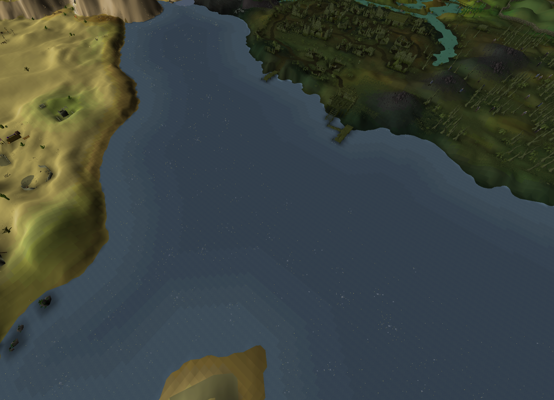
Sanctuary's End is a bay at the mouth of the River Salve, feeding into the Eastern Ocean. Along its north bank lies Burgh de Rott. Other notable points along the bay are Citharede Abbey and the Ruins of Uzer. An unnamed, inaccessible island lies between the bay and the Uzer Channel to the south. To the east lies the Murkshore Sea.
Changes
| Date | Changes |
|---|---|
| 5 November 2025 (Update) |
Sea names were added to the world map. |
Gallery (historical)
-
20 March 2025 - 26 March 2025 (March 2025 Sailing Alpha)

Trivia
- In the March 2025 Sailing Alpha, this area of ocean carried the labels "Mouth of the Salve" (where the River Salve met the sea) and "Golem's Bight" (just north of the Ruins of Uzer) It was renamed in the June 2025 Sailing Beta.
| Bodies of water |
| ||||||||||||||||||
|---|---|---|---|---|---|---|---|---|---|---|---|---|---|---|---|---|---|---|---|
| Landforms |
| ||||||||||||||||||