Crabclaw Bay
Article Live index
This copy was last processed on . The copied wiki revision is dated .
| Crabclaw Bay | ||||
|---|---|---|---|---|
| Released | 19 November 2025 (Update) | |||
| Members | Yes | |||
| Location | Western Ocean | |||
| League region | N/A | |||
| Map | ||||
| Advanced data | ||||
| Type | sea | |||

| Location on World Map | ||||
| Hosidius | ||||
| ↑ | ||||
| Crabclaw Caves | ← | Crabclaw Bay | → | Crabclaw Isle |
| ↓ | ||||
| Salvager Overlook | ||||
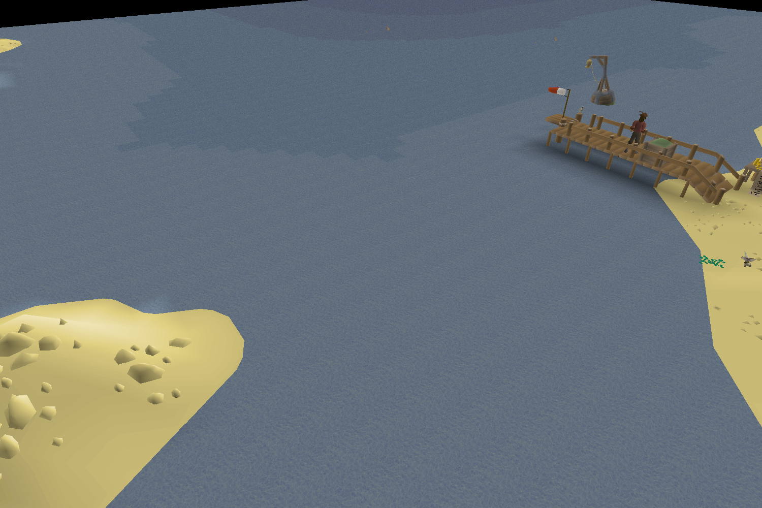
Crabclaw Bay is a bay south of Hosidius and east of Kourend Woodland, at the mouth of the River Hos' southern terminus. Crabclaw Isle is located here, and sandcrabs can be found on its shores and the northern shore of the bay. A mooring point can also be found on the beach.
Crabclaw Bay feeds into the Great Sound to the west. To the south are the northernmost shores of Varlamore, and to the east lies Pilgrims' Passage.
Sea charting
Charting activates reward various amounts of Sailing experience, with significant bonus experience for completing every charting task in any given sea or ocean.
| Level | Type | Task | Sea | Ocean | Location | Comp% |
|---|---|---|---|---|---|---|
 1 1 |  Generic Generic | Find a sabotaged mooring point on Crabclaw Island. | Crabclaw Bay | Western Ocean | Map | 42.3% |
| 1 |  Spyglass Spyglass | Use your spyglass to get a good view of Salvager Overlook from the west. | Crabclaw Bay | Western Ocean | Map | 28.2% |
| 1 | Spyglass | Use your spyglass to get a good view of Crabclaw Island from the south west. | Crabclaw Bay | Western Ocean | Map | 36.2% |
| 38 |  Diving Diving | With help from a mermaid guide, document the water depth in the south of Crabclaw Bay. Answer to the riddle: 3 air runes, and one each of silver ore, chisel, uncut jade, ring mould, and cosmic rune | Crabclaw Bay | Bonus charts | Map | 23.6% |
| 57 |  Weather Weather | Help the meteorologist document the local weather on a small island south of the Woodcutting Guild. | Crabclaw Bay | Bonus charts | Map | 17.3% |
Changes
| Date | Changes |
|---|---|
| 5 November 2025 (Update) |
Body of water names were added to the world map. |
Gallery (historical)
-
20 March 2025 - 26 March 2025 (March 2025 Sailing Alpha)

Trivia
- In the March 2025 Sailing Alpha, this area of ocean was named "Hos Inlet", but it was renamed in the June 2025 Sailing Beta.
| Bodies of water |
| ||||||||||||||||||
|---|---|---|---|---|---|---|---|---|---|---|---|---|---|---|---|---|---|---|---|
| Landforms |
| ||||||||||||||||||