Bay of Elidinis
This copy was last processed on . The copied wiki revision is dated .
| Bay of Elidinis | ||||
|---|---|---|---|---|
| Released | 19 November 2025 (Update) | |||
| Members | Yes | |||
| Location | Unquiet Ocean | |||
| League region | N/A | |||
| Map | ||||
| Advanced data | ||||
| Type | sea | |||

| Location on World Map | ||||
| Elid Delta | ||||
| ↑ | ||||
| Dognose Island | ← | Bay of Elidinis | → | The Iron Sea |
| ↓ | ||||
| Tortugan Sea | ||||
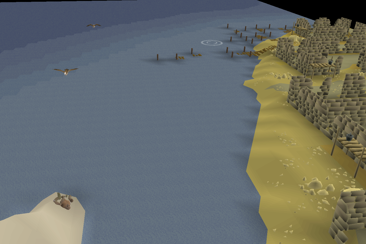
The Bay of Elidinis is the bay at the mouth of the River Elid, containing the Elid Delta. It is a bay off the southern coast of Menaphos. It is named after Elidinis, the Menaphite Goddess of fertility and growth. Menaphos lies on its north-western shore, while the Jaltevas Pyramid lies on the north-eastern shore. An unnamed island lies between the bay and the Menaphite Sea to the west. To the south, the Bay of Elidinis connects to the Tortugan Sea, and to the east it connects to The Iron Sea.
Sea charting
Charting activates reward various amounts of Sailing experience, with significant bonus experience for completing every charting task in any given sea or ocean.
| Level | Type | Task | Sea | Ocean | Location | Comp% |
|---|---|---|---|---|---|---|
 1 1 |  Generic Generic | Find a damaged golem east of Menaphos. | Bay of Elidinis | Unquiet Ocean | Map | 30.1% |
| 1 |  Spyglass Spyglass | Use your spyglass to get a good view of the Abalone Cliffs from the north east. | Bay of Elidinis | Unquiet Ocean | Map | 36.9% |
| 12 |  Crate Crate | Find a Sealed crate south of Menaphos and sample the contents. | Bay of Elidinis | Unquiet Ocean | Map | 33% |
| 22 |  Current Current | Test the currents to the south west of the Elid Delta. | Bay of Elidinis | Unquiet Ocean | Map | 27.6% |
| 38 |  Diving Diving | With help from a mermaid guide, document the water depth in the south east of the Bay of Elidinis. Answer to the riddle: Charcoal | Bay of Elidinis | Unquiet Ocean | Map | 26.2% |
Changes
| Date | Changes |
|---|---|
| 5 November 2025 (Update) |
Body of water names were added to the world map. |
Gallery (historical)
-
20 March 2025 - 26 March 2025 (Mouth of the Elid in the March 2025 Sailing Alpha)
-
20 March 2025 - 26 March 2025 (Kharidian Trench in the March 2025 Sailing Alpha)


Trivia
- In the March 2025 Sailing Alpha, this area of ocean was named "Mouth of the Elid", but it was renamed in the June 2025 Sailing Beta. Additionally, the area between this and The Great Conch was named the "Kharidian Trench". This label was entirely removed from the beta onward.
| Bodies of water |
| ||||||||||||||||||
|---|---|---|---|---|---|---|---|---|---|---|---|---|---|---|---|---|---|---|---|
| Landforms |
| ||||||||||||||||||