Gulf of Kourend (Sailing alpha)
Article Live index
This copy was last processed on . The copied wiki revision is dated .
| Gulf of Kourend | ||||
|---|---|---|---|---|
| Released | 20 March 2025 (Update unknown) | |||
| Members | ? (edit) | |||
| League region | N/A | |||
| Map | ||||
.png)
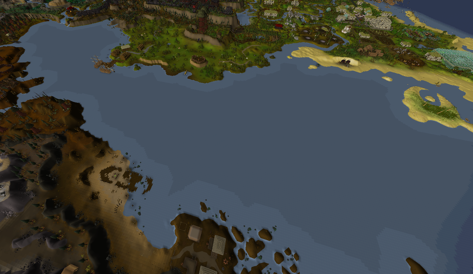
The Gulf of Kourend is a large body of water that separates the coasts of Hosidius and the Kourend Woodlands in the Great Kourend on one side, from the Ayopalli Coast and the Salvager Overlook in Varlamore on the other side.
It is fed by Lacerta Falls and the river delta of the River Hos and several smaller streams from the Varlamorian mountains. It connects to the Western Ocean.
Some features that are part of the Gulf of Kourend or its surrounding coastline include Morra Bay, Lacerta Falls, Ayopalli Coast, the Hos Inlet, the Shipwreck Cove and Crabclaw Isle.
| Major features |
| ||||||||||||||
|---|---|---|---|---|---|---|---|---|---|---|---|---|---|---|---|
| Bodies of water |
| ||||||||||||||
| Landforms |
| ||||||||||||||
| Other locations | |||||||||||||||
| Related | |||||||||||||||